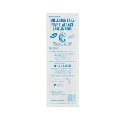
Fish N Map Millerton/Pine Flat/Amador Map
$10.95
Fish N Map Millerton/Pine Flat/Amador Map -This map shows 10 foot underwater depth contours for easy structure identification. The map also shows boat ramp
